
The Lucey Agency is based in Castle Rock, Colorado, and Hendersonville, North Carolina, two areas that are witnessing phenomenal growth within their respective regions. From the majestic Rockies to the sublime Blue Ridge Mountains, we offer a variety of services that give small businesses and organizations a creative advantage. Our client list includes firms around Colorado, in the greater Denver metropolitan area, and in Colorado Springs, from South Florida to South Carolina, in Chattanooga, Tennessee, and throughout North Carolina, from Hendersonville to Salisbury, Charlotte to Pinehurst.
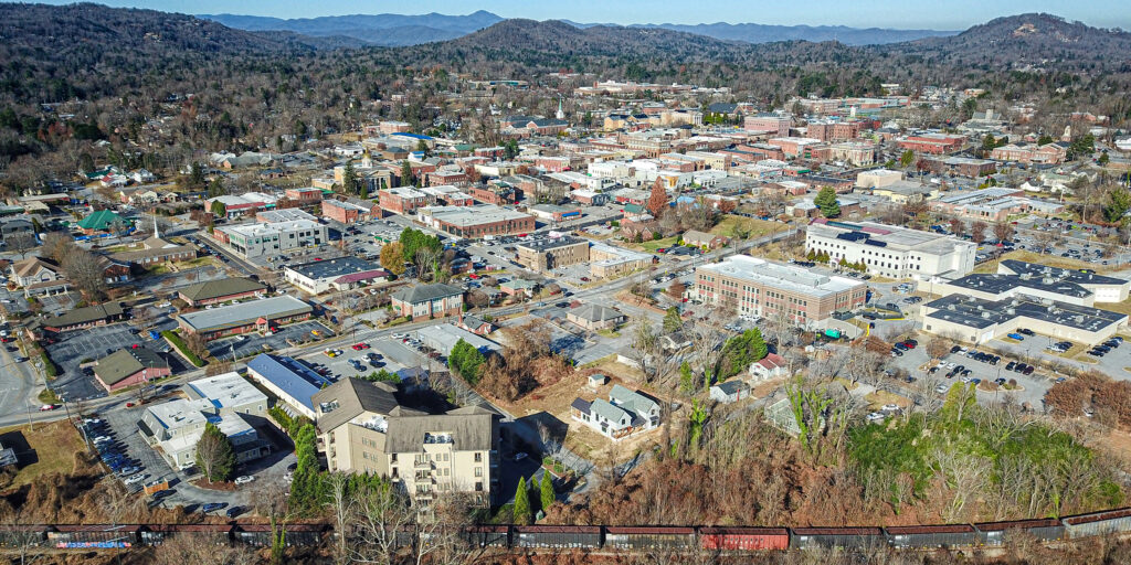
Hendersonville, North Carolina
Hendersonville is the largest city and county seat of Henderson County, which lies just south of Asheville and Buncombe County. The city and county are named for Leonard Henderson, who was a 19th-century North Carolina Supreme Court Chief Justice. The city’s population hovers just above 16,000 and the county is home to about 120,000.
Hendersonville offers the allure of mountain living that western North Carolina is known for, plus a compact, pedestrian-friendly downtown, access to a plethora of outdoor activities, a vibrant food scene as well as wineries, breweries, cideries, and orchards.
The bucolic, alpine atmosphere of Hendersonville in particular, and Western North Carolina in general is attracting droves of working-aged Americans and retirees alike, fueled by a low cost of living and a laid-back lifestyle.
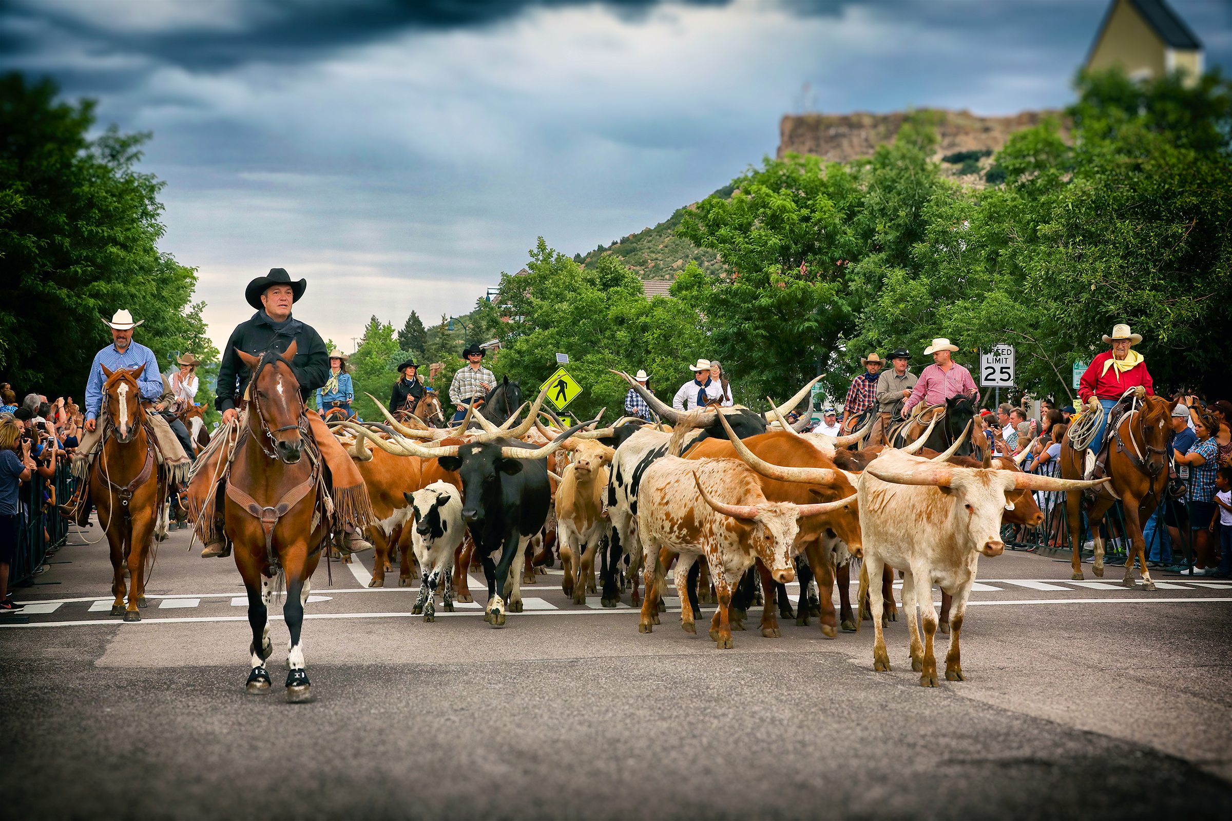
Castle Rock, Colorado
Castle Rock is a town of approximately 82,000 in central Colorado, 28 miles south of Denver and 37 miles north of Colorado Springs. It is the county seat and most populous town in Douglas County (in fact, it’s the most populous “town” in the entire state). Douglas County has the highest median household income in the state of Colorado, is the ninth richest in the United States according to U.S. News & World Report, and is the most affluent county outside the Northeast or California.
Castle Rock was originally inhabited by the Arapaho and Cheyenne people, who occupied the land between the Arkansas and South Platte Rivers. Rumors of gold brought white settlers in the mid-1800s, but the discovery of rhyolite ultimately led to the settling of the town.
Castle Rock is located at 39º22’20″N 104º51’22″W, at an elevation of 6,224 feet, nearly 1,000 feet higher than Denver, the “Mile High City.” It sits at the junction of Interstate 25 and Highway 86. It’s located just east of the Rampart Range of the Rocky Mountains, on the western edge of the Great Plains, just south of Denver’s urban sprawl, and north of the Palmer Divide, which separates the town from Colorado Springs. It lies at the heart of the Front Range Urban Corridor, a metropolitan area that stretches from Cheyenne, Wyoming in the north to Pueblo, Colorado in the south, with a total population of about 5 million.
Geographically, the most prominent feature is the eponymous Castle Rock, a butte made up of rhyolite which is significantly resistant to erosion. It was formed by a volcanic eruption that took place 37 million years ago, which blanketed the entire area with 20 feet of rhyolite.